Remote Sensing and GIS
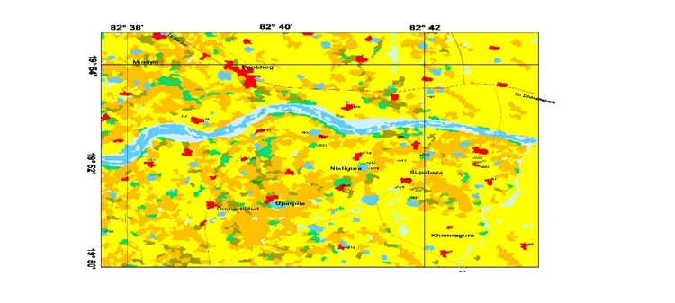
Application of satellite data and geospatial tools for watershed mapping, flood/drought monitoring, land use change detection, and water resource planning.
Application of satellite data and geospatial tools for watershed mapping, flood/drought monitoring, land use change detection, and water resource planning.